|
|
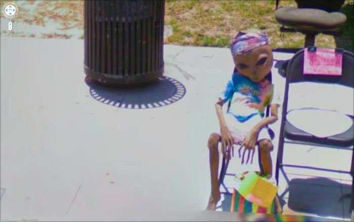
Google Street View Photos
|
Google Street View is a technology featured in Google Maps and Google Earth that provides panoramic views from various positions along many streets in the world. It was launched on May 25, 2007, originally only in several cities in the United States, and has since gradually expanded to include more cities and rural areas worldwide.
Google Street View displays images taken from a fleet of specially adapted cars. Areas not accessible by car, like pedestrian areas, narrow streets, alleys and ski resorts, are sometimes covered by Google Trikes (tricycles) or a snowmobile. On each of these vehicles there are nine directional cameras for 360° views at a height of about 2.5 meters, GPS units for positioning and three laser range scanners for the measuring of up to 50 meters 180° in the front of the vehicle. There are also 3G/GSM/Wi-Fi antennas for scanning 3G/GSM and Wi-Fi hotspots. Recently, 'high quality' images are based on open source hardware cameras from Elphel.
Where available, street view images appear after zooming in beyond the highest zooming level in maps and satellite images, and also by dragging a "pegman" icon onto a location on a map. Using the keyboard or mouse the horizontal and vertical viewing direction and the zoom level can be selected. A solid or broken line in the photo shows the approximate path followed by the camera car, and arrows link to the next photo in each direction. At junctions and crossings of camera car routes, more arrows are shown.
|
|


